Global Navigation systems are important for everything in our lives, from cell phones, to farm equipment, to dog collars. Looking for an obscure location in the middle of nowhere is no longer a task for a techie with ultra modern gizmos. With the advent of Satellite Navigation, one can find locations with pinpoint accuracy in the blink of an eye, using a dashboard mounted device or a smartphone. It can be used for doing complex things like finding lost soldiers in the middle of the Sahara Desert to instantly figuring out the math required to launch a missile from a mobile platform. If you’ve ever looked at Google Earth on your computer, you can gauge the size and scope of this system.
Satellite Navigation, more commonly known as SAT NAV use satellites to provide geospatial positioning in an autonomous manner. It uses time signals to provide longitude, latitude and altitude / elevation making use of the line of sight radio signals provided by an array of geostationary satellites. It should be noted that the system does not make use of telephonic or internet signals for operation. It allows for devices to obtain high precision time signals as well as time synchronization. So effectively, we could use it on a device without the use of a SIM card or an internet connection. SAT NAV is used for both military and civilian purposes.
Satellite navigation system performance is based on the following :
Accuracy – How much of a difference is there between the measured position, time or speed of the device and the real one. Satellites have atomic clocks built into them for time accuracy, and receivers have a quartz clock to match the time sent from satellites.
Continuity – The ability of the system to operate without interruptions
Integrity – Whenever there is an error in the position data, the device should provide for a threshold and alarm to alert the user
Availability – It is the time period when the system fulfills all of its accuracy, continuity and integrity criteria.
Satellites use either CDMA or FDMA coding to transmit and receive data, similar to a CDMA mobile phone device. Orbital altitudes of the satellites vary between 20,000 km to 35,000 km above the Earth. As far as the number of satellites required for operation, GPS has the highest at around 32 while NAVIC has only about 7.
Many countries have their own set of global satellite navigation systems. The United States Global Positioning System aka GPS, Russian GLONASS, China’s BeiDou Navigation System, European Unions’ Galileo, and the India’s NAVIC or NAVigation with Indian Constellation. Let’s look at each one in more detail.
1 – GPS of the United States of America

GPS (Global Positioning System) is the United States system that uses 32 satellites that are in medium Earth Orbit. They are placed in six distinct orbital planes, and older satellites are constantly replaced by new ones. It has been in operation since 1978 and it is the most used navigation system that incorporates satellites.
2 – GLONASS of Russia

GLONASS or Global Navigation Sputnik System is a Russian satellite navigation system that is used for civilian operations. It makes use of radio navigation satellites and is also utilized by the Aerospace Defence of the Russian Forces. It consists of 24 full orbital constellations of satellites that allow for global coverage.
3 – Galileo of the European Union

Galileo is the European Union satellite navigation system introduced in 2002. The European Space Agency also makes use of this system and is used as an alternative to the United States GPS. It makes use of 30 satellites that are in medium Earth orbit. It has been designed to be compatible with the GPS system of US and receivers can make use of combined signals from GPS and Galileo, mainly to increase the level of accuracy.
4 – BeiDou of People’s Republic of China

China has been using the system BeiDou for its military and civilian navigation purposes. It is currently in the second generation and was formerly known as COMPASS, and serves the Asia-Pacific region in addition to China. It makes use of 30 Medium Earth Orbit Satellites and 5 satellites that are in geostationary orbit.
5 – IRNSS or NAVIC of India

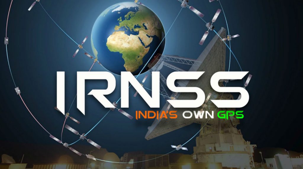
IRNSS (Indian Regional Navigation Satellite System) or NAVIC (Navigation with Indian Constellation) is the satellite navigation system used by the Indian Space Research Organization, which is directly controlled by the Indian Government. It consists of 7 satellites out of which 3 are placed in geostationary orbit while the other four are in geosynchronous orbit. It has a very large signal footprint in comparison to the number of satellites in operation. All satellites in the constellation have been launched from within India, and the system will be fully operational in 2016.
6 – QZSS of Japan

The Quasi-Zenith Satellite System (QZSS), is a proposed three-satellite regional time transfer system and enhancement for GPS covering Japan. The first demonstration satellite was launched in September 2010.
It would be an interesting experiment to use the combined data of all satellites from all countries and merge them into one consolidated system. This would truly break barriers and take our navigation technology to the next level. Having satellite navigation from the North to the South Pole and everywhere in between would be indispensable to the world traveller and defence forces alike.


